
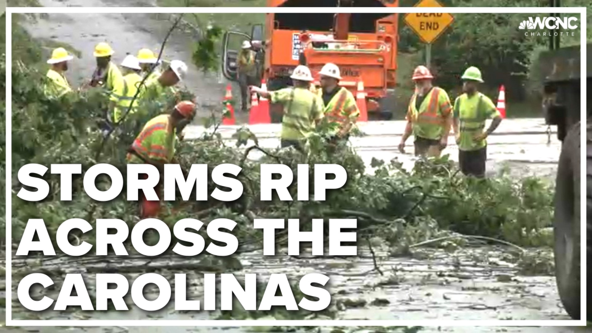
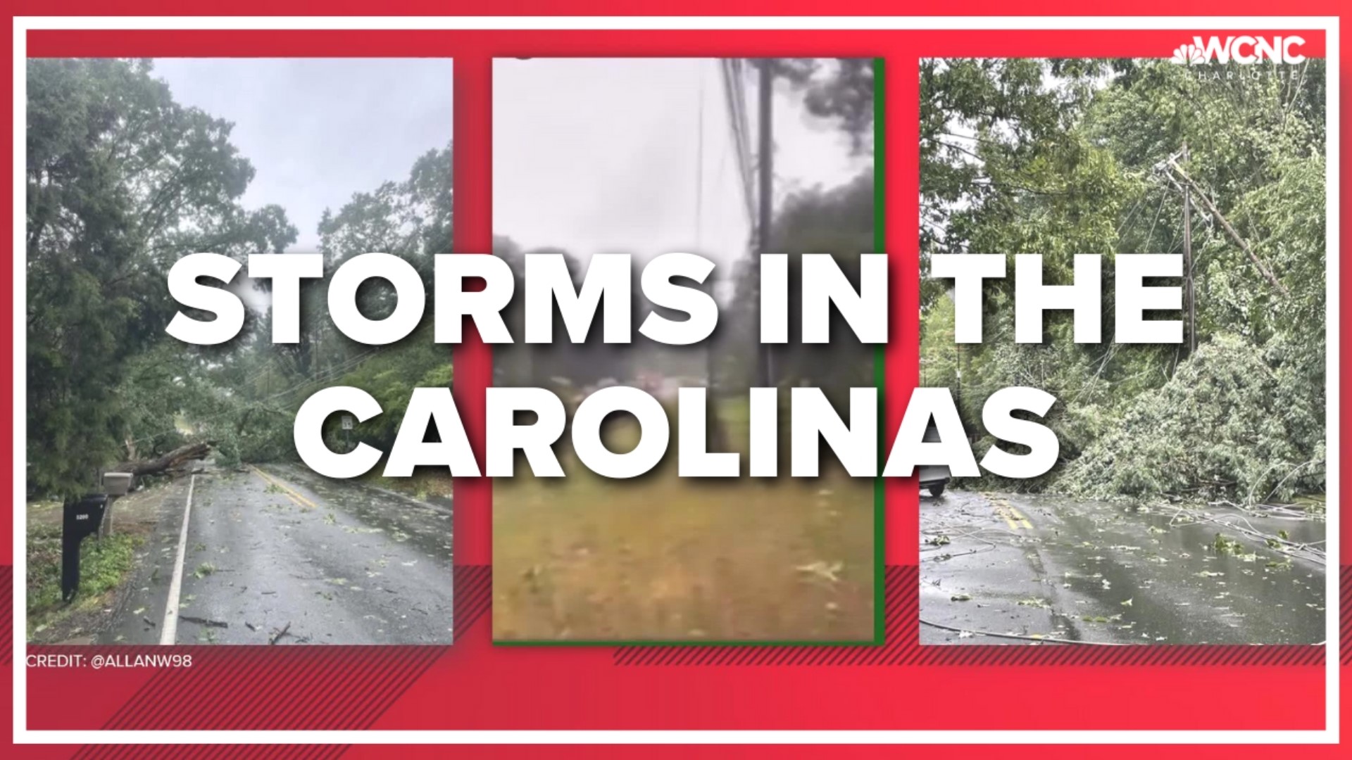
CHARLOTTE, N.C. — Thousands of people were without power after strong storms moved through the Charlotte area Monday afternoon and evening. Power has since been restored for most of the area.
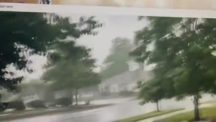
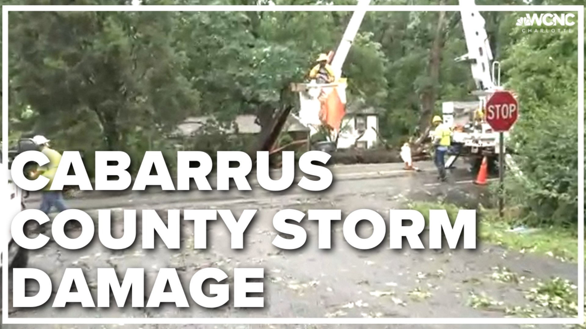
At least one possible tornado caused damage in the Reedy Creek neighborhood of east Charlotte. As the storm moved north and east, it continued to topple trees and powerlines as it moved towards Harrisburg in Cabarrus County.
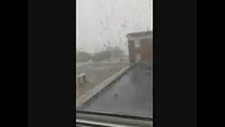
The second round of storms started moving through the area Monday early evening, bringing damaging winds and the possibility of isolated tornadoes.
Chief Meteorologist Brad Panovich said there were likely three tornado tracks from Monday's severe weather, though damage surveys in the days to come will confirm the details.
Neighbors described the sights and sounds they witnessed.
“She said it sounded like a train coming straight through the backyard," Virginia Luther said.
“The sites are crazy," Ben Troutman said. "Trees everywhere."
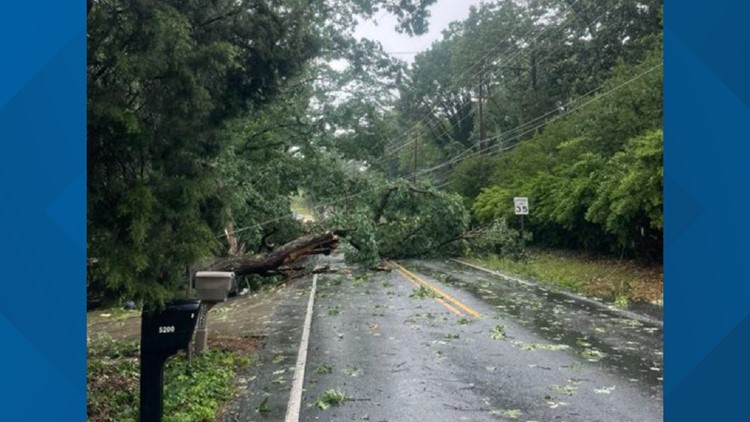
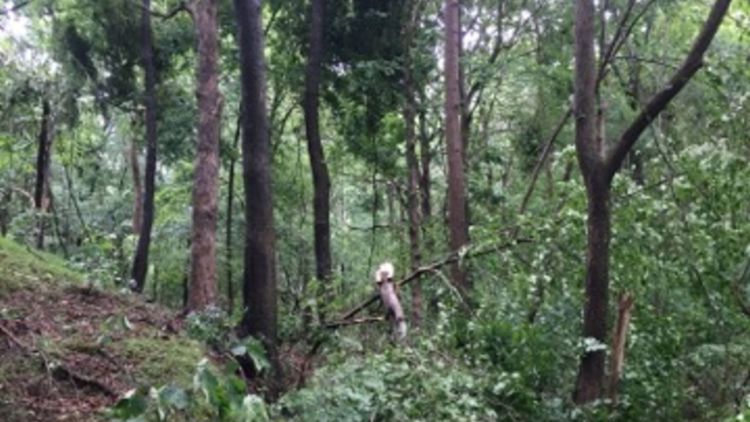
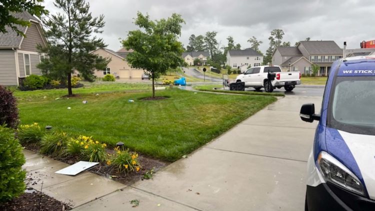
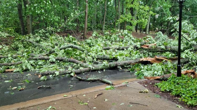
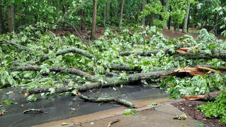
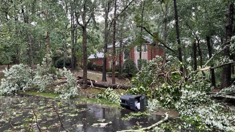
Storm damage in east Charlotte
A possible tornado from a severe thunderstorm brought down trees and powerlines stretching from the Reedy Creek neighborhood in east Charlotte through Harrisburg in Cabarrus County.
WCNC Charlotte Chief Meteorologist Brad Panovich said a possible tornado began around 1:40 p.m. before moving northeast across Interstate 485.
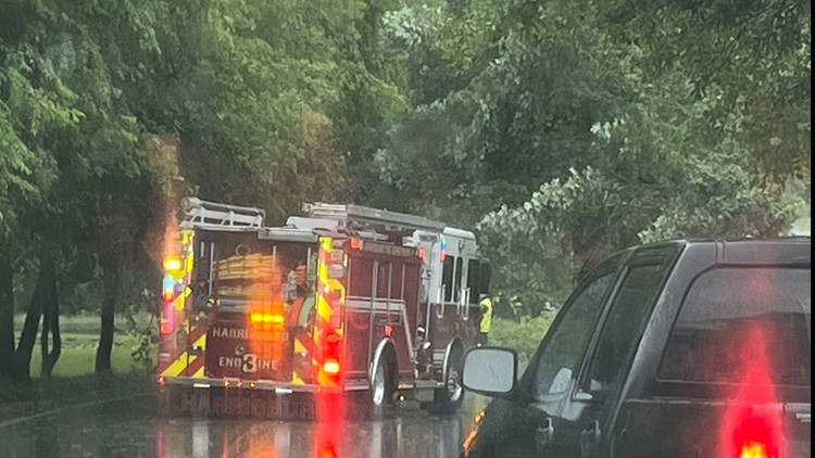
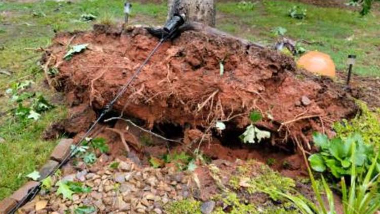
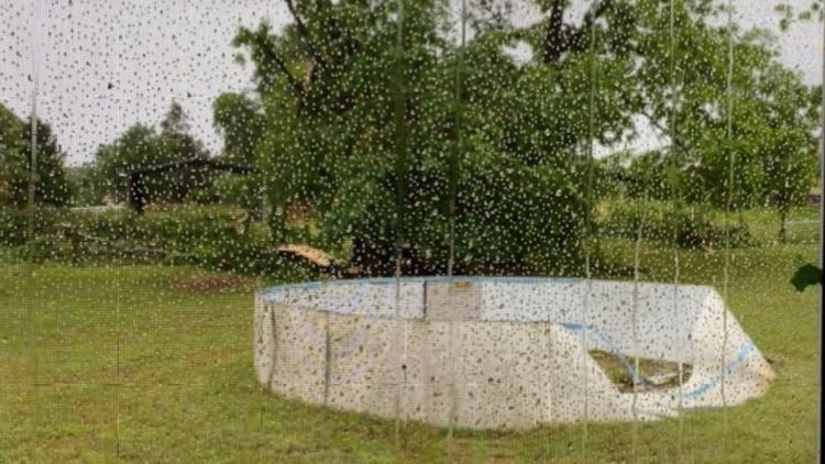
WCNC Charlotte viewers shared their photos of the damage with Brad Panovich on the WCNC app and social media. Here's how you can share your storm damage photos with us.
The National Weather Service will visit the neighborhood Tuesday to determine whether the damage was caused by an actual tornado.
Storm damage across the Charlotte area | Viewer photos

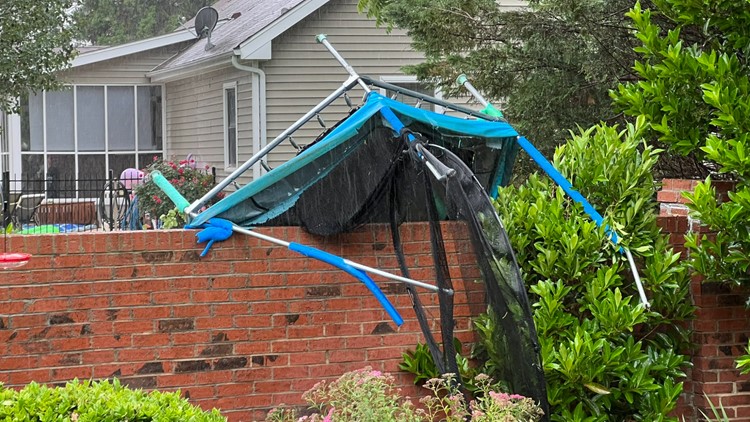

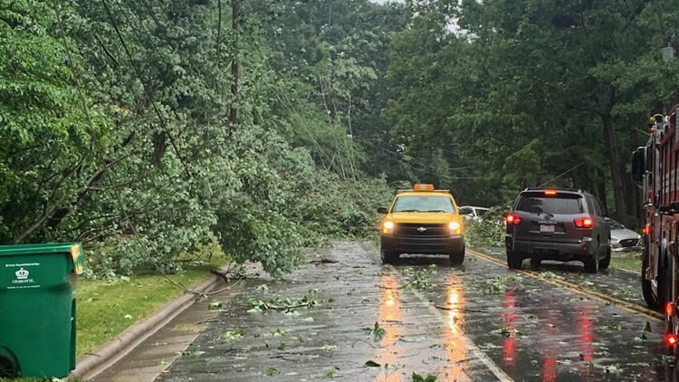

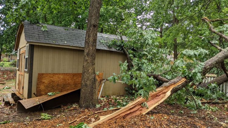


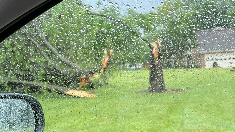

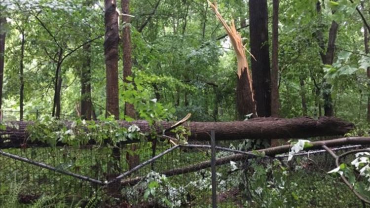


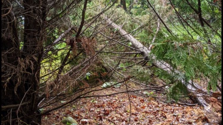


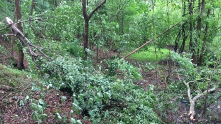

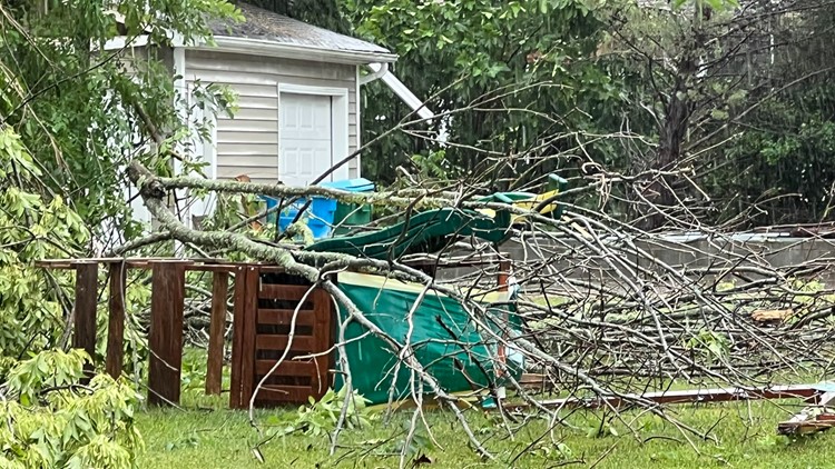

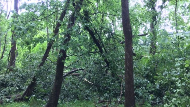

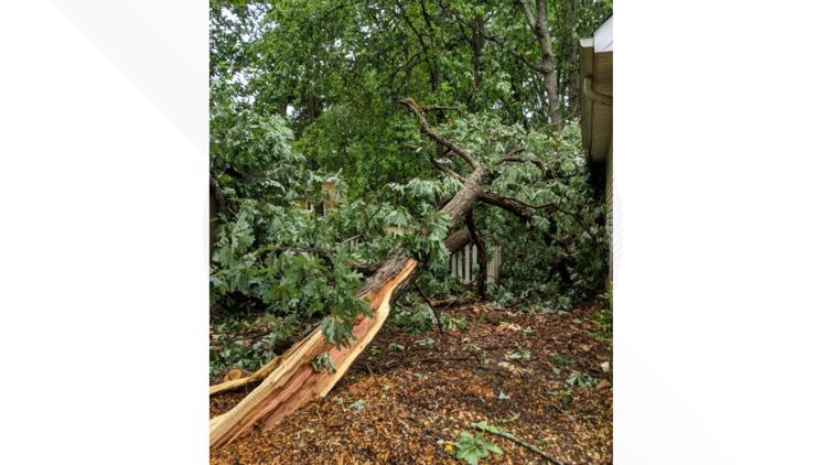

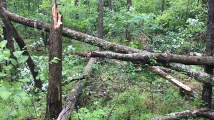


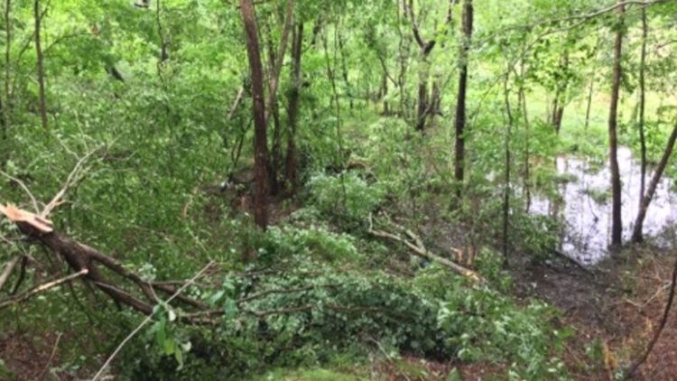

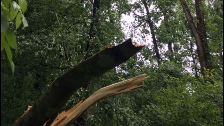


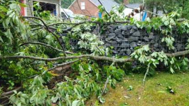

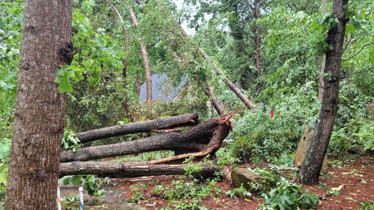

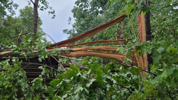


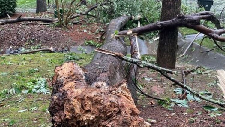

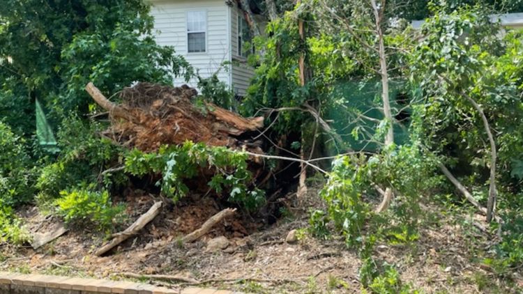
As the storm moved north and east, it continued to cause damage. Multiple WCNC Charlotte viewers reported damage near Pharr Mill Road in Harrisburg, and along Rocky River Road in eastern Mecklenburg County.
The storm damage that spread across multiple neighborhoods encouraged a community effort for the clean-up.
“I think this neighborhood is so tight-knit that it's really nice to see everyone working together because this isn’t any of our houses, but we’re all still here trying to clean up with everyone," neighbor Maddie Luther said.
Ahead of the tornado warning Monday, Panovich and WCNC Charlotte meteorologist Chris Mulcahy were tracking the storm live on WCNC Charlotte's YouTube channel. They were monitoring the rotation ahead of the official warning.
At its peak, around 6,000 customers were without power along Plaza Road Extension, Hood Road, Rocky River Road, and Harrisburg Road. By 9:15 p.m., around 1,000 customers were without power in Charlotte, with the majority of the outages being in south Charlotte near the South Park neighborhood.
By midnight, over 300 customers were still without power in Charlotte, with the majority being in the Bradfield Farms area.
So far there have been no reports of anyone who was hurt during the storm.
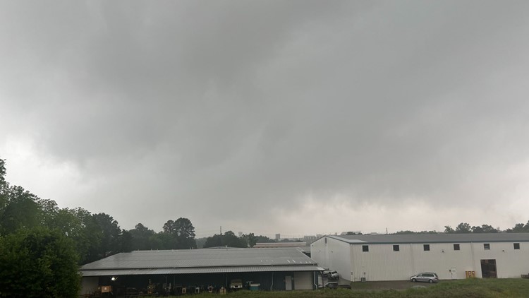
Severe storm system
Panovich said the storm system moving through the Carolinas formed over the Gulf of Mexico and at one point had the potential to be the first-named tropical storm of the season. That didn't happen, but it will still bring rain to the Southeast.
Flood risk
Ahead of the storms, Panovich said there was a widespread area in the Carolinas with a 15-20% chance of flash flooding.
"The excessive rainfall outlook is elevated, that's actually higher than the severe weather risk," Panovich said.
The Carolina coast will be at risk for more flooding Tuesday as the system pushes east and another system follows it from the west.
"We're going to have a couple of days with potentially heavy rain," Panovich said. "Some of the amounts in here, basically around 1-2 inches of rain, depending on how much it moves. What you're looking at here is probably around 2-4 inches of rain over this area over the next five days."