
CHARLOTTE, N.C. — The severe weather threat for Charlotte has ended after a strong line of thunderstorms moved through the metro area earlier Thursday.
Through the late afternoon and evening hours, the line associated with an advancing cold front continues to move through eastern portions of the Carolinas.
A tornado watch issued south and east of the Charlotte area has been allowed to expire. The National Weather Service issues a tornado watch when storms could produce severe weather in the hours ahead.
Creeks in the Charlotte area, including the Little Sugar Creek near Uptown Charlotte, remain high after about 1.40" of rain fell in Charlotte Thursday because of the storms. Portions of the Little Sugar Creek Greenway in Midtown Charlotte were flooded Thursday as a result of the heavy rainfall.
No damage was reported as a result of flooding.
Gusty winds associated with the storm system also brought down trees.
In Mecklenburg County, a tree fell on power lines along Providence Road north of Sardis Road. As a result, Duke Energy reported 500 of their customers in the south Charlotte neighborhood were without power Thursday morning.
In Iredell County Thursday, a tree fell on a home along Stutts Road near Lake Norman, according to the National Weather Service.
WCNC Charlotte Chief Meteorologist Brad Panovich learned of storm damage in Stanly County caused by a possible tornado Thursday.
Near Polton, several chicken houses were destroyed along with substantial tree damage. The National Weather Service will visit the area Friday to understand the type of severe weather that caused the damage.
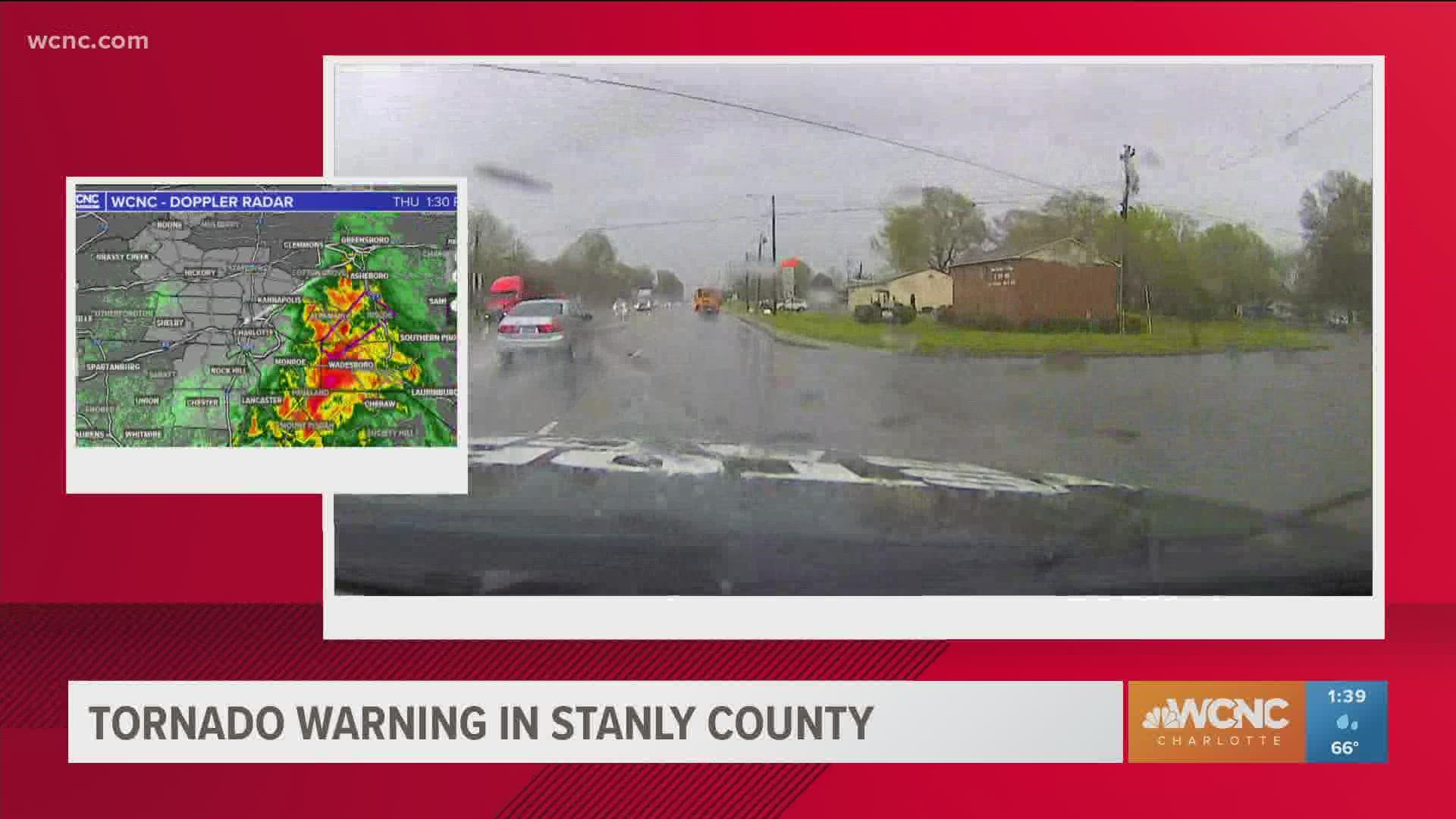
As the severe storms moved through the greater Charlotte area Thursday, portions of York County and Chester counties in South Carolina, followed by Anson, Randolph, Stanly, Moore, and Montgomery counties in North Carolina, were under tornado warnings as meteorologists tracked rotation inside the severe thunderstorms.
Headed into Thursday morning, there were still questions that remained about the timing of the threat. Given the intensity and timing of the storms early Thursday afternoon, the possibility of a second round of storms later Thursday was now less likely to happen.
In a house
When at home, you and your family need to go to their safe place. First, go to the lowest level of your home immediately. A basement is ideal, but if you don't have one, find the most interior room of your house away from windows.
Crouch on the floor and cover your head as much as you can. Brad Panovich's family keeps helmets in their safe space, along with other supplies for a tornado warning.
Your safe place should have a flashlight, as well as food and water. You should always wear shoes because if there is damage, you may have to walk through nails or broken glass.
In an apartment
In an apartment building, the same rules apply. You need to head to the lowest level, but use the stairs because the elevator could lose power. A place like under the staircase, an interior hallway or a room with no windows is your safe place. Crouch and cover your head.
In a car
But what about your car? This is the riskiest place to be during a tornado. If the tornado is far enough away you can drive away from it in 90-degree angles until you find a safe place. If it is nearby, DO NOT try to outrun it. Instead, pull over. Keep your seatbelt on and duck below the winds and cover your head.
An EF1 tornado can push a car and an EF2 can lift it off the road. DO NOT seek shelter under a bridge or overpass. Flying debris tends to move even faster, making it more dangerous.
At work or shopping
Most importantly, don't panic. Be mindful of others and move as quickly and safely as possible to an interior bathroom or storage room. Any enclosed place away from windows is your target. Some establishments will have a marked tornado shelter.
Out in the open
If you are out in the open, and there is no nearby shelter, find the lowest-lying area away from trees and anything that could produce debris. Lay flat on the ground and put your hands behind your head.
Theater or Church
If a tornado warning sounds while you are in church or the theater, you'll want to find the lowest interior room without windows. But if there is no time. Hide under the pews or seats.
Mobile Home
In a mobile home, get out and run to a tornado shelter nearby. A mobile home historically is the worst place to be in the path of a tornado. Tornado fatalities are more common for those who live in mobile homes since they do not have the foundation that a home has.
The timing
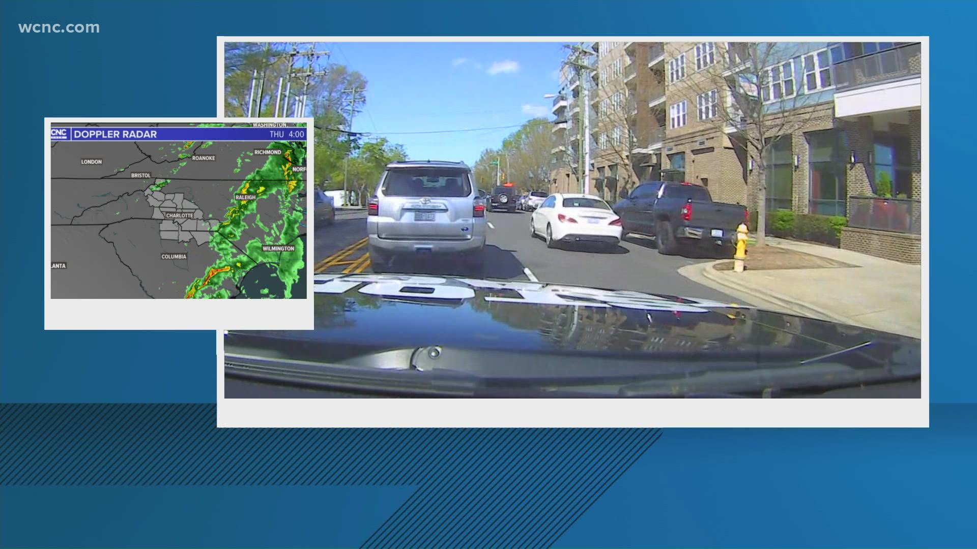
Panovich said the best timeframe for severe weather will likely be from around noon to 2 p.m. By 4 p.m., the trailing edge of storms will be moving through with a threat of strong storms. Eastern North Carolina could see some supercells by 7 p.m. and into Thursday night.
"If it's going to happen, it's going to happen this afternoon as the front pushes off the east," Panovich said.
Panovich said the convective available potential energy -- known as CAPE, or "thunderstorm fuel" -- will build up in the middle of the day.
"You can see it does build a little towards the middle of the day," Panovich explained. "And so, at 3 o'clock, there is some energy. This is that thunderstorm fuel, there is some energy there for these storms to get a little stronger as we go into the afternoon hours."
Other threats
Wind: The No. 1 threat would be severe thunderstorms with gusty winds. These winds could occasionally gust over 50-60 mph, causing spotty damage and downed trees.
Tornado: There will be some spin to the atmosphere and there is a chance for a spin-up tornado but the treats are very low at this time. The Storm Prediction Center has a 2% chance for tornadoes in the areas north and south we mentioned previously in the article (in orange).
Hail: Currently this threat is the lowest severe parameter for the area.
Flooding: Any thunderstorm system has a chance to bring some localized and urban flooding, so the threat is there but most rain totals will range from a half-inch to 1.5 inches. This will all come within a six-hour period, which will lead to some significant ponding in areas. It wouldn't be unheard of to see some isolated reports of 2 inches of rain, especially in the North Carolina mountains.