CHARLOTTE, N.C. — Just hours after Tropical Storm Imelda intensified off the Texas coast, the storm made landfall near Freeport. It's the second storm to intensify into an organized tropical system Tuesday.
Around noon, an previously unorganized cluster of tropical thunderstorms was upgraded to tropical depression status by the National Hurricane Center. By 1 p.m., the system was upgraded to a tropical storm - this time named as Imelda. An hour later, the storm made landfall.
Tropical Storm Imelda has maximum sustained winds of 40 mph. It will quickly lose its tropical storm status as it moves north towards Houston.
"This system is likely to produce life-threatening flash flooding along portions of the Upper Texas coast, including the Houston and Galveston areas," the National Hurricane Center said.
Forecasters are calling for rainfall rates between 2 and 3 inches per hour during the height of the storm. In total, the storm could dump more than a foot of rain along coastal Texas.
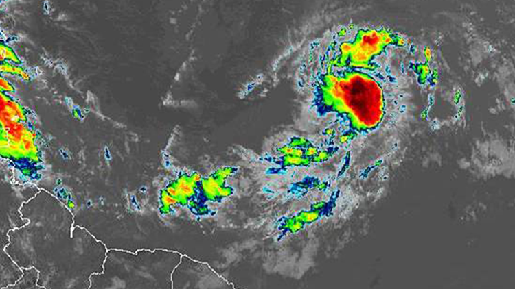
Much further from shore, Tropical Depression Ten has formed in the Atlantic Ocean. It is expected to become the next hurricane in the Atlantic Ocean.
Tropical Depression Ten was located 1,165 miles from the Leeward Islands. It has maximum sustained winds of 35 mph and is moving northwest at 12 mph.
"A west-northwestward motion at a somewhat faster forward speed is expected over the next few days. On the forecast track, the system will approach the northern Leeward Islands Thursday night or Friday," the National Hurricane Center said."
Strengthening is forecast during the next couple of days, and the depression is expected to become a tropical storm later Tuesday with maximum sustained winds of at least 39 mph. The system is forecast to become a hurricane by the time it approaches the northern Leeward Island. A Category 1 hurricane has winds of at least 74 mph.
Intensification is expected as the depression is forecast to move over gradually increasing sea surface temperatures. The storm will need to overcome some dry air, advises the National Hurricane Center, but is expected to strengthen thanks to low wind shear conditions.
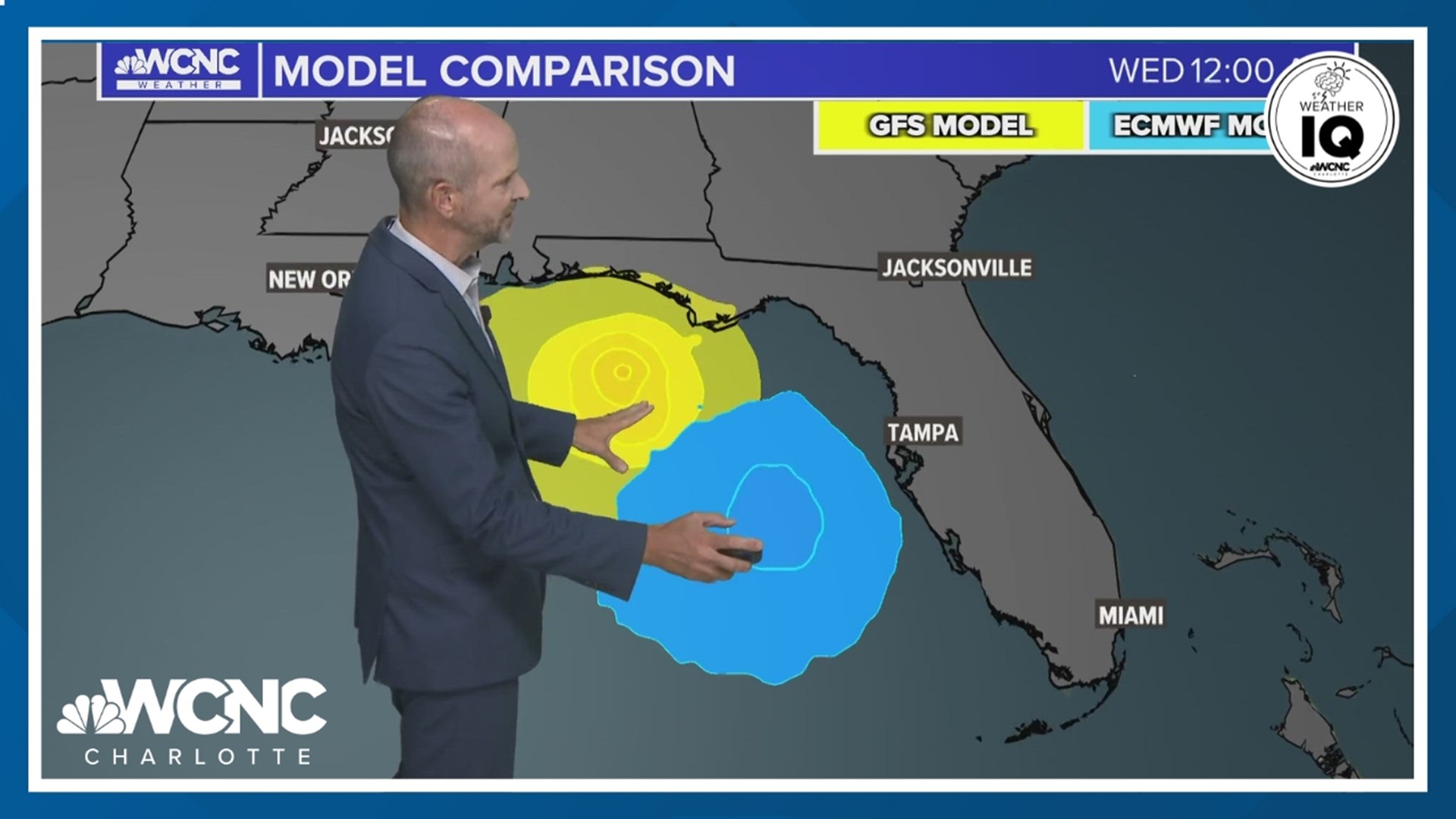
The track guidance is in relatively good agreement through Friday. After that, the forecast guidance spreads as the storm moves north of Puerto Rico.
At this time, there are no tropical storm watches or warnings associated with the storm. It is too far from land at this time.
When Tropical Depression Ten becomes a tropical storm, it will receive the name Jerry. Tropical Storm Imelda near the Texas beat it to the letter 'I' name by a few hours.
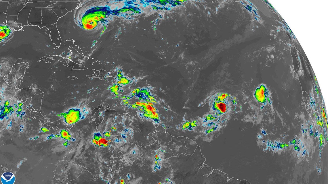
Hurricane Humberto is now a category 2 storm with maximum sustained winds of 100 mph. It remains well off the Carolina coast as it moves towards Bermuda.