What to watch for in the Atlantic now that Florence has passed the Carolinas
After a historic week here in the Carolinas after Hurricane Florence made landfall, we direct our attention back out into the Atlantic.
Chip Somodevilla/Getty Images
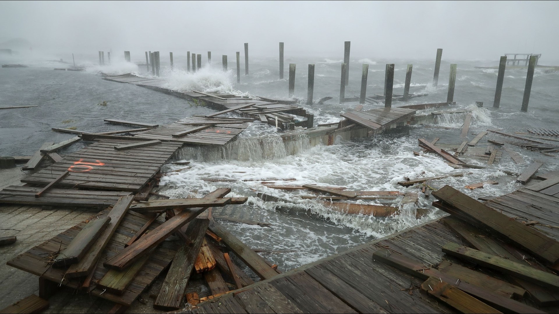
After a historic week here in the Carolinas after Hurricane Florence made landfall, we direct our attention back out into the Atlantic.
Before we move any further, there are no tropical systems that are set to make an immediate impact with the United States. This discussion is to let you know there are some disturbances in the Atlantic to mention.

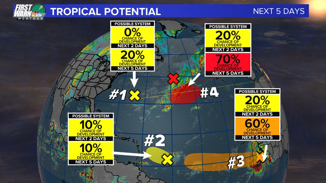
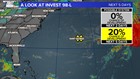
Number 1 – Invest 98-L
This system that is the closest to the Carolinas is located just southeast of Bermuda. This is not another Florence. Florence is gone and this is a new entity.
This is simply a trough and a broad area of low pressure that is producing some rain out over the Atlantic. The environment is not suitable to turn this over to a tropical system and as of right now it will likely only drag in some additional moisture next week.
This will allow for more rain potential (which we do not need) but the moisture from this system could feed a stalled out stationary front later next week.

Number 2 – Invest 97-L
This is simply some disorganized rain showers well east of the Windward Islands and will be producing a clump of showers and thunderstorms. It is currently moving west-northwest at 10 mph but with strong upper-level winds and a swath of dry air, this will likely be nothing to worry about.
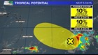
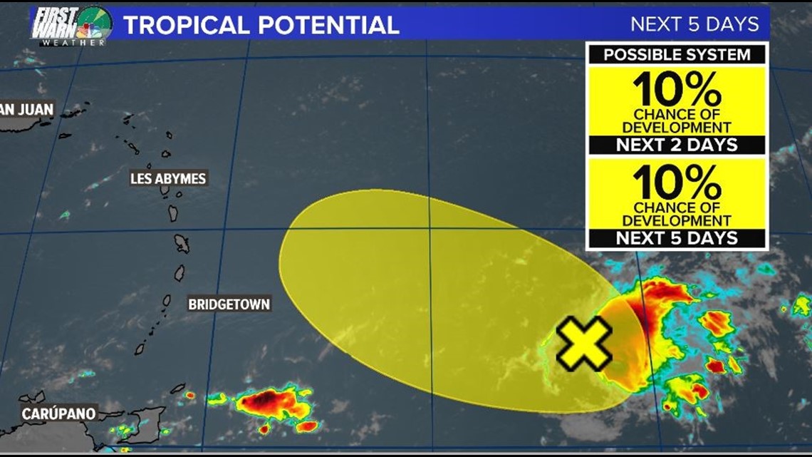
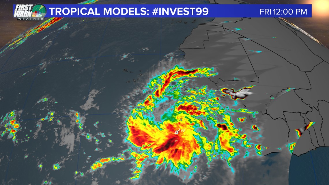
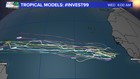
Number 3 – Invest 99-L
This tropical wave has a good chance of turning into a Tropical Depression or a Tropical Storm over the next 5 days BUT it is the farthest away from the United States. This is the most “organized” set up we have over the Atlantic. This is about 600 miles southeast of the Cabo Verde Islands and off the coast of Africa. This is a popular place for tropical systems to form. This will be a slow development, but it is moving at a decent pace westward at 15 to 20 mph. If this becomes a tropical storm or hurricane it would become either Kirk or Leslie, since these tropical systems are named alphabetically.

Number 4
This is currently just a low-pressure system but will likely become a tropical storm over the next 5-7 days or as early as Monday.
This could challenge number 3 (mentioned above) for the name Kirk. This is also not posing a threat to the United States since it will likely curve back to the northeast and farther out into the Atlantic away from the U.S. coast.